See your ground clearly. Prove every gram.
LoderaIQ fuses satellite imagery, AI detection, field operations, logistics and revenue assurance into one auditable platform, from orbit to point of sale. Drone survey is rolling out.

LoderaIQ is now live in Nigeria
eGate has launched LoderaIQ across Nigeria, operating locally as MineIQ, delivered with our strategic partner Milky-Way. AI-powered, fully integrated mining oversight, from exploration to the last truck out.
From orbit to point of sale, one registry, one map, one audit trail.
One system turns satellite imagery, AI-driven detection, field operations, logistics and revenue assurance into a single auditable record, with drone survey rolling out. This is the shift, from periodic spot-checks and self-reported figures to continuous, independent, auditable truth. Every licence, load and lot is traced, time-stamped and reconciled, so operators move faster, financiers fund with confidence, and authorities see the ground truth as it happens.
Every deployment is configured and benchmarked to your operation.
Intelligence that reaches the pit, not just the boardroom.
Crews see the same live imagery and AI layers as headquarters: detections, volumes and compliance flags overlaid on the real site, on any device.

Six pillars, one auditable system.
Discover, Detect, Monitor, Track, Trade and Assure: the six platform pillars (Exploration, Detection & compliance, Site & ESG monitoring, Ore tracking, Marketplace & trade, Revenue assurance), together one chain from space to sale.
Discover · Exploration
It starts with the ground itself. LoderaIQ reads satellite and spectral imagery across your whole licence area to map terrain, structure and surface signatures, then ranks where mineralisation is most likely, so your field budget goes to the strongest targets first instead of a uniform grid. Airborne drone survey, carrying a magnetometer and aerial cameras, is rolling out to add centimetre-scale ground truth beneath the satellite view.
Detect · Detection & compliance
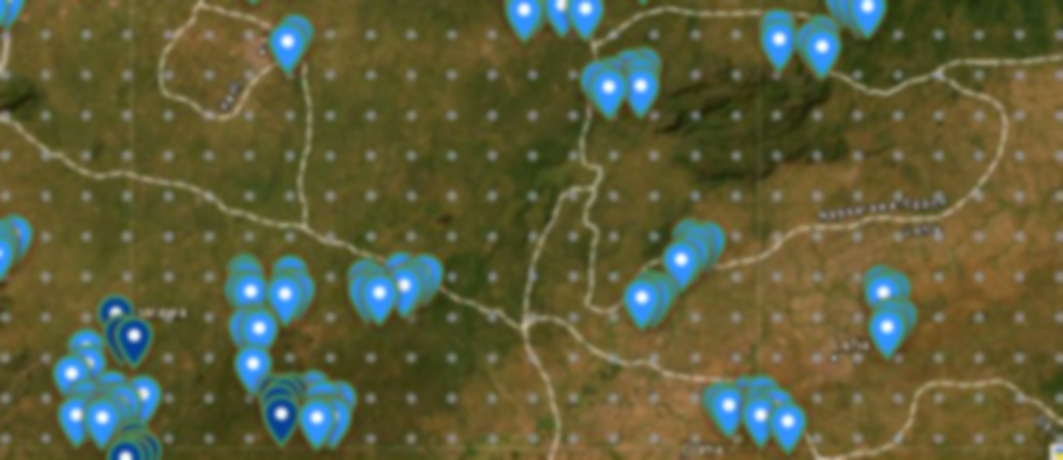
See what is happening on the ground as it happens. The AI compares every new image against a dated baseline to flag fresh pits, expanding disturbance and mining on unlicensed or relinquished land, right across your territory, without waiting for a site visit. Each detection is geolocated and time-stamped, so a flag on the map is backed by evidence that holds up in an audit or an enforcement action.
Monitor · Site & ESG monitoring
One live command-centre view of every licence, site and feed in a single place. Watch ground change, water and vegetation stress and site conditions build up over time, with dashboards that turn continuous observation into ESG and compliance evidence, rather than a once-a-season spot check that is out of date the moment it is signed.
Track · Ore tracking
Follow every load from the pit all the way to the port. QR and RFID tags create a tamper-resistant chain of custody, with weight capture and digital sign-offs at each hand-off, so where a load came from and where it went is something you can trace and prove, not take on trust.
Trade · Marketplace & trade
Connect verified output to real revenue. The marketplace and payment layer ties graded, custody-tracked material to buyers, settlement and export permits, so the same evidence that proves what you produced is what moves it to sale and gets you paid, with far less room for the after-the-fact disputes that stall payment.
Assure · Revenue assurance
Close the gap between what is declared and what actually happened. LoderaIQ reconciles observed production, grade and movement against reported figures and the royalties due on them, surfacing under-reporting and leakage as it occurs, so operators and revenue authorities finally work from one auditable version of the truth.
Powered by satellites and purpose-built AI, with drone survey rolling out.
Many sensors, one intelligence layer: every detection, volume and compliance flag backed by evidence you can audit.
One platform, built for every side of the table.
Regulators, operators and financiers act on the same verified ground truth, each through the view that matters to them.
See more sites, enforce every licence, recover more royalty.
National oversight of exploration, mining, transport and trade, with the evidence to act.
- Territory-wide detection of licensed & unlicensed activity
- Licence & registry integration
- Chain of custody to port & royalty assurance
- Authority portal, dashboards & audit-ready evidence
Explore smarter, operate cleaner, sell verified.
One platform from prospectivity to sale, focus spend, monitor ESG, prove chain of custody and capture full value.
- Exploration intelligence & live site / ESG monitoring
- Ore tracking pit-to-port
- Marketplace & payments
- Group roll-up & mobile apps for the field
Fund mining you can independently verify.
Diligence and monitor assets on evidence, not paperwork, signals that de-risk capital across the life of a deal.
- Independent production evidence
- Compliance & ESG monitoring
- Revenue assurance & portfolio dashboard
- Alerts on what matters & audit-ready reporting
Not a concept, a platform already running at national scale.
LoderaIQ is in production for a national mining authority: satellite legality scans, a live licence and site registry, chain of custody logistics and revenue assurance, all in one command centre. The figures below are an illustrative sample.
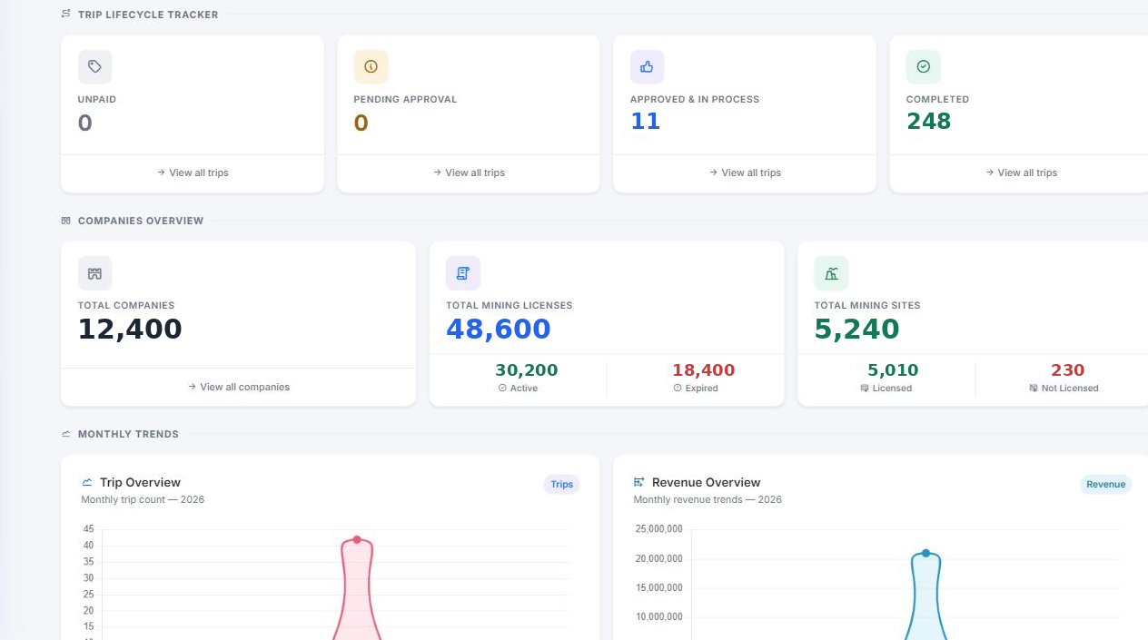
Declared production reconciled against observed extraction, tracked month over month and split by commodity.
Monthly revenue reconciled
Royalty value assured across the mineral estate · 2026
Revenue by mineral
Share of reconciled royalty by commodity
See the platform on your own terrain.
Tell us your role and your ground, and we’ll tailor a 30-minute briefing on real data.
Request a briefing