Multi-sensor intelligence, engineered for the field.
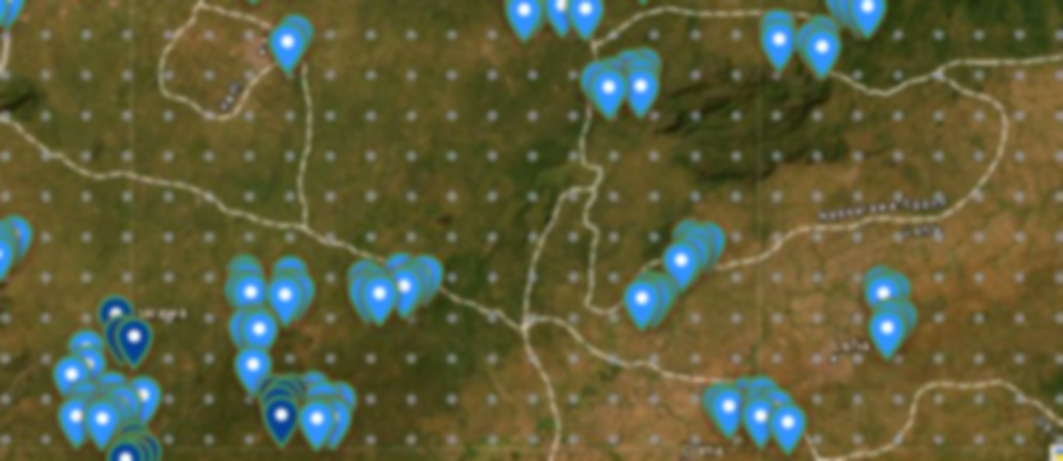
LoderaIQ fuses satellite, drone and ground sensing with purpose-trained AI, turning raw optical, thermal and geophysical signals into verified, decision-ready intelligence. Detections are cross-checked, geolocated and pushed to the field and the command centre on the same live map.
One in-house engine, not a reseller stack, every layer integrated on a single platform.
What the imagery measures.
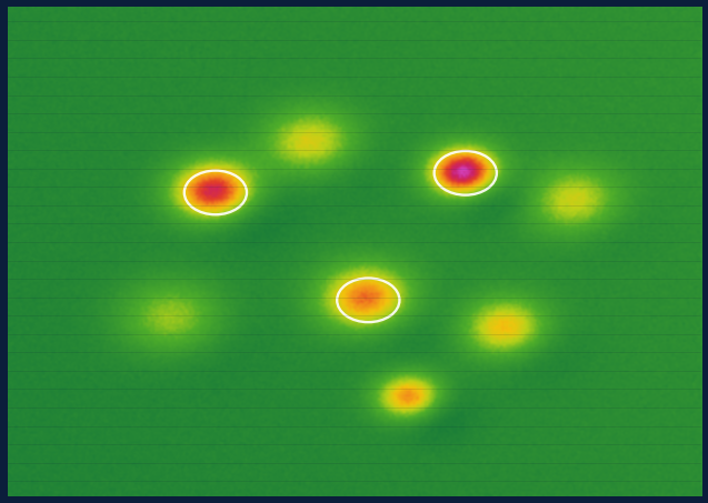
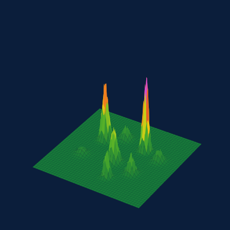
Every capture is turned into decision-ready measurement, not just a picture. The platform reads volume and change directly, and indicates surface composition (imagery indicates, it does not assay), from satellite, drone and thermal data, then flags what moved between captures.
Illustrative capability, outputs configured to your sensors, cadence and site.
One engine. Owned in-house. Built for national scale.
LoderaIQ is powered by eGate’s cross-sector drone, imagery and AI engine, not a reseller stack. That’s why it’s faster, more accurate and more scalable.
The platform runs on a shared engine, drone control and flight operations, high-resolution imagery capture, and AI models that turn raw aerial and satellite data into decisions. It is cloud- and edge-ready, secured to government grade, integration-ready for national identity, payments and cross-sector data, and designed to localise across jurisdictions.
Technology
The five technology layers
AI & Analytics Engine
Deep-learning detection, geological interpretation, anomaly detection and revenue verification.
Satellite & Geospatial
High-resolution optical, multispectral and radar imagery with GIS analytics.
Drone & Aeromagnetic
In-house VTOL operations (rolling out) with aeromagnetic, multispectral and thermal payloads.
Security & Sovereignty
In-country hosting, zero-trust security, encryption and full auditability.
Integrations & API
National identity, payments, customs, XRF, RFID and cross-sector data.
See the engine on your data.
Book a technical briefing with our team.
1 · Platform architecture
2 · Chain of custody, transport monitoring
3 · Role-based app ecosystem
Built to fly the survey and read the subsurface.
Not a reseller of pictures. Drones are equipped to fly survey lines, with the aerial layer rolling out, while satellite and spectral layers register above them. LoderaIQ fuses the stack, and its AI turns raw field data into decisions, from orbit to bedrock.
Honest limits: A magnetic anomaly is a drill target, not an orebody; targets are not resources or reserves; and spectral signatures are not assays. Outputs inform the competent or qualified person; they do not replace that person, whose sign-off carries the result under JORC or NI 43-101-style codes.
survey lines
subsurface sensing
imagery
anomalies & targets
Not a concept, a platform already running at national scale.
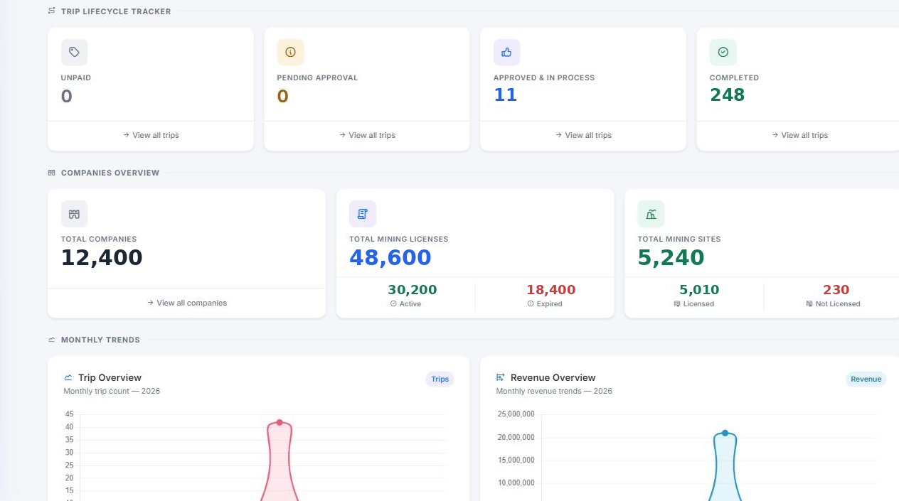
LoderaIQ is in production for a national mining authority: satellite legality scans, a live licence and site registry, chain of custody logistics and revenue assurance, all in one command centre.